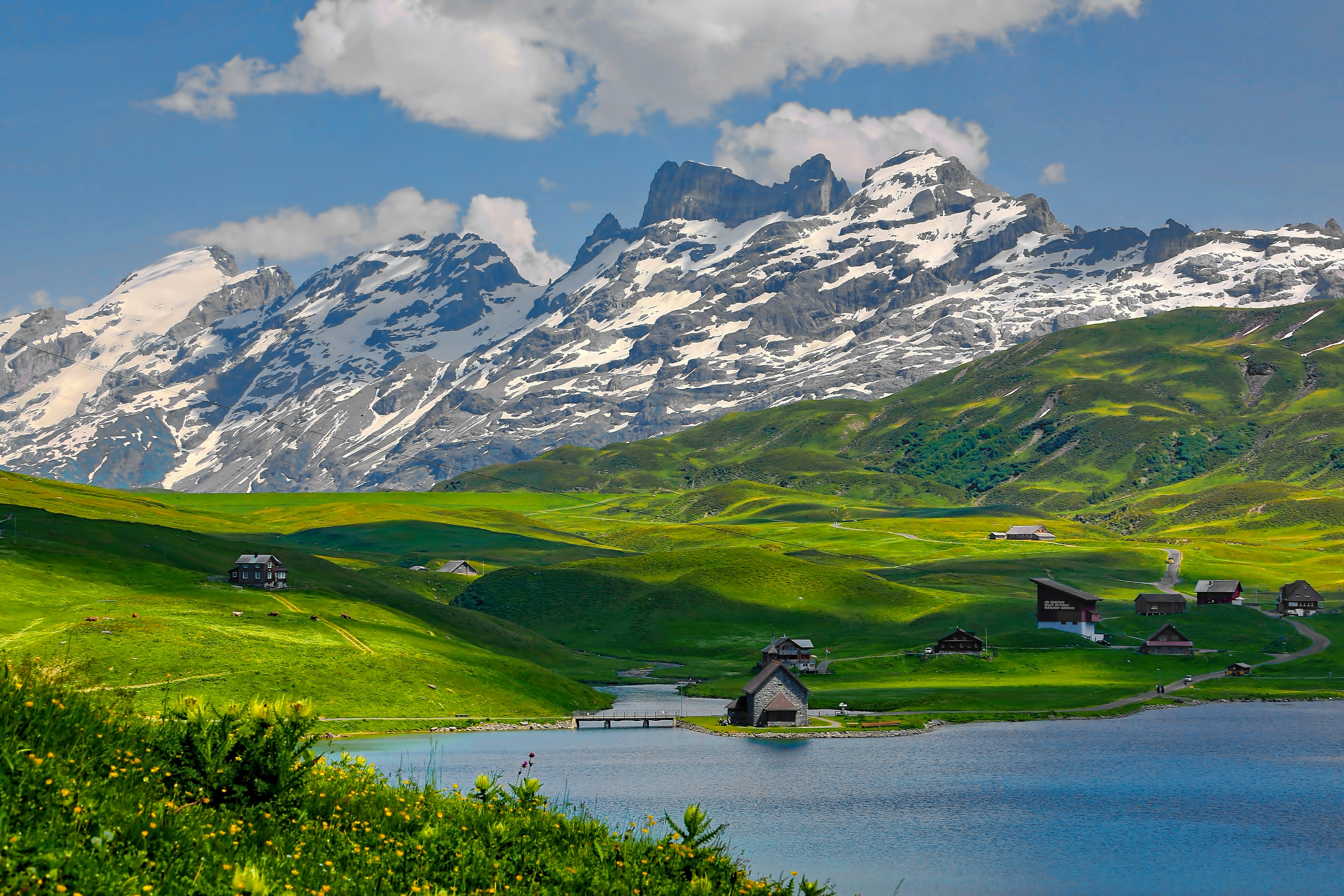
I’ve stood on wind-whipped ridges from the Andes to the Alps, but there is something fundamentally raw about Glacier National Park. They call it the "Crown of the Continent," and for good reason. With over 700 miles of trails weaving through jagged limestone peaks and ancient cedar forests, it’s a place that demands respect and rewards every drop of sweat. In 2022 alone, nearly 3 million visitors descended upon these valleys, and as we look toward the 2026 season, the secret is well and truly out. Navigating this wilderness requires more than just a pair of sturdy boots; it requires a strategy.
Whether you’re looking to stand on the edge of a sheer cliff on the Highline Trail or take a quiet stroll through 500-year-old trees, this guide is built from my years of scouting these peaks. We’re going to break down the 11 absolute best hikes in Glacier National Park to help you conquer the 2026 season.
Essential Planning: Know Before You Go
Before you lace up, let’s talk logistics. Glacier isn't a "show up and hike" kind of park anymore. To protect the fragile alpine ecosystem and manage the crowds, the National Park Service uses a strict vehicle reservation system.
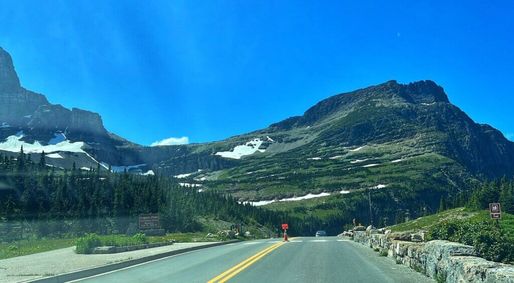
2026 Reservation Alert: For the 2026 season, vehicle reservations are required for the most popular corridors: Going-to-the-Sun Road, North Fork, Many Glacier, and Two Medicine. These are typically required from late May through early September. If you don't snag a reservation months in advance (or the day before at 7 PM), your best bet is the free park shuttle, which is a lifesaver for bypassing the 7:00 AM parking lot fills at Logan Pass.
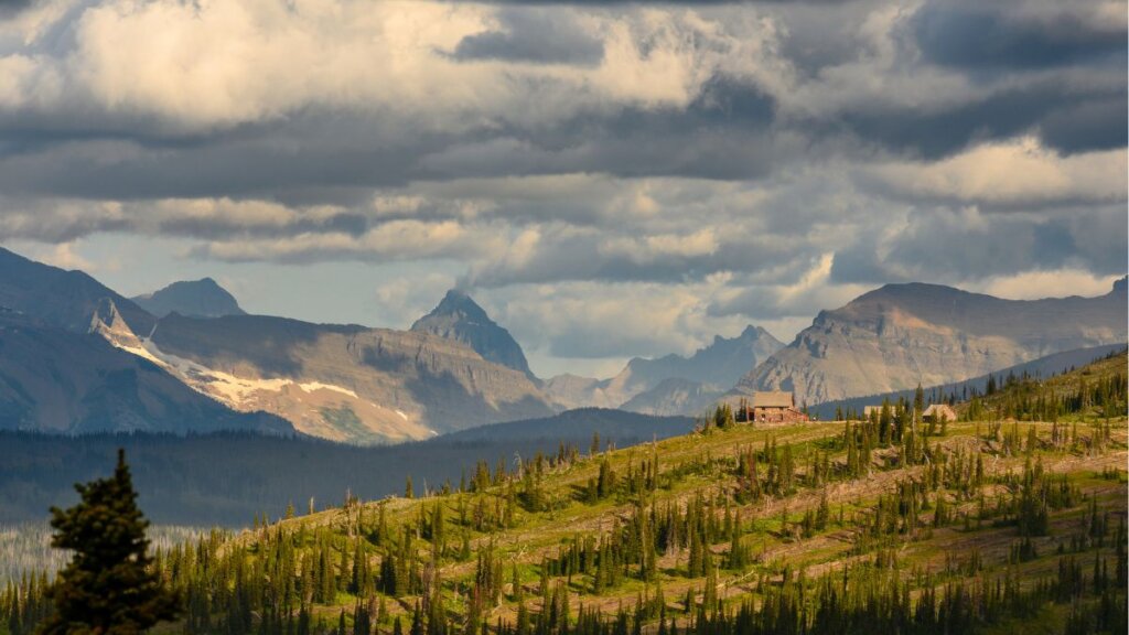
The absolute sweet spot for hiking is from early July to mid-October. Any earlier, and you’ll likely find the Highline and Grinnell Glacier trails buried under treacherous snowpacks. By July, the Going-to-the-Sun Road is usually fully open, and the wildflowers in the high meadows are screaming with color.
The Iconic Classics (Bucket List Trails)
These are the trails that made Glacier famous. They are high-reward, high-traffic, and worth every second of the hype.
1. Highline Trail (The Garden Wall)
If you only have one day in Glacier, this is the trail. Period. Starting at Logan Pass, the Highline follows the "Garden Wall" arête, offering dizzying views of the U-shaped valleys carved by ancient ice. The first quarter-mile includes the famous "Ledge" section—a narrow path with a 100-foot drop-off, equipped with a hand cable for those who feel the vertigo.
| Metric | Details |
|---|---|
| Distance | 11.8 miles (Point-to-Point) |
| Elevation Gain | 800 ft (Mostly descent/rolling) |
| Estimated Time | 6–8 hours |
| Difficulty | Strenuous (Distance/Exposure) |
Keep your eyes peeled for mountain goats and bighorn sheep; they own these cliffs. About 7.6 miles in, you’ll hit the Granite Park Chalet, a historic stone structure where you can buy a Gatorade and soak in the silence before the final knee-crunching descent to "The Loop."
2. Grinnell Glacier Trail
There is no better place to witness the park’s namesake than here. This trail takes you past three stunning lakes—Swiftcurrent, Josephine, and the milky-turquoise Grinnell Lake—before ascending to the Upper Grinnell Lake, where the actual glacier sits.
| Metric | Details |
|---|---|
| Distance | 10.6 miles roundtrip (7 miles with boat) |
| Elevation Gain | 1,600 ft |
| Estimated Time | 5–7 hours |
| Difficulty | Moderate to Strenuous |
Pro Tip: Take the Many Glacier wooden boat shuttle across Swiftcurrent and Josephine lakes. It shaves 3.4 miles off the roundtrip and offers a perspective of the peaks you can't get from the shore.
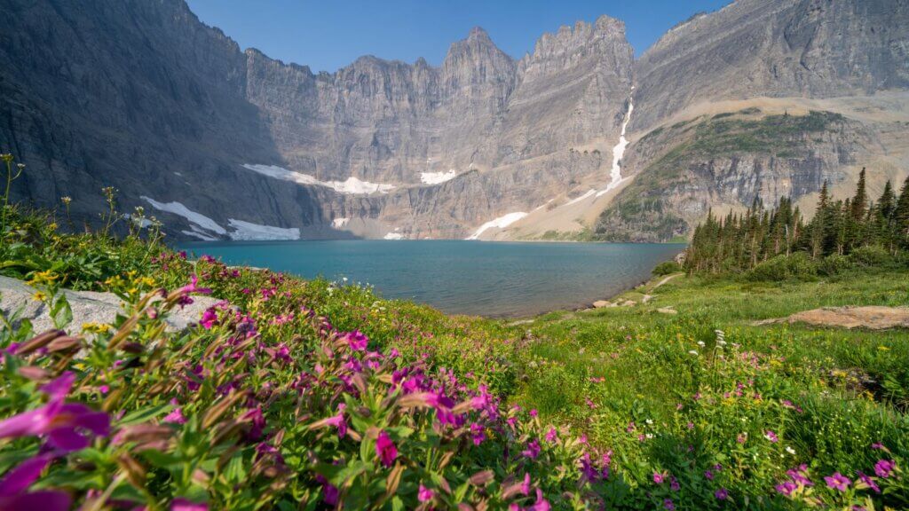
3. Iceberg Lake Trail
This is arguably the most "bang for your buck" hike in the Many Glacier area. The trail is a steady, manageable climb through bear-heavy territory (bring your spray!) that opens up into a massive alpine amphitheater. Even in the scorching heat of August, you’ll find giant chunks of ice floating in the water, framed by the 3,000-foot vertical cliffs of the Ptarmigan Wall.
| Metric | Details |
|---|---|
| Distance | 9.7 miles roundtrip |
| Elevation Gain | 1,275 ft |
| Estimated Time | 4–5 hours |
| Difficulty | Moderate |
Easy & Family-Friendly Favorites
You don’t have to climb a mountain to see the magic. These trails are perfect for kids, photography enthusiasts, or those recovery days between big ascents.
4. Trail of the Cedars & Avalanche Lake
Located on the west side of the park, the Trail of the Cedars is a 1.4-mile accessible boardwalk that winds through ancient red cedars and hemlocks. It’s lush, cool, and smells like a dream. If you’re feeling energized, continue onto the Avalanche Lake trail.
| Metric | Details |
|---|---|
| Distance | 4.6 miles roundtrip (including loop) |
| Elevation Gain | 730 ft |
| Estimated Time | 2–3 hours |
| Difficulty | Easy |
At the lake, you'll see half a dozen waterfalls cascading down the cliffs from the Sperry Glacier above. It’s the perfect spot for a backcountry picnic.
5. Hidden Lake Overlook
Starting right behind the Logan Pass Visitor Center, this trail follows a boardwalk over the "Hanging Gardens." It’s a short, punchy climb that yields one of the most iconic views in North America: the sparkling Hidden Lake sits below, flanked by Bearhat Mountain.
| Metric | Details |
|---|---|
| Distance | 2.7 miles roundtrip |
| Elevation Gain | 540 ft |
| Estimated Time | 1.5–2 hours |
| Difficulty | Easy to Moderate |
6. Running Eagle Falls (Trick Falls)
In the Two Medicine area, this 0.6-mile path is a must-see for families. The waterfall is called "Trick Falls" because during the spring melt, water flows over the top ledge, but as the season progresses, it primarily flows out of a cavern in the middle of the cliff face. It’s a geological oddity that never fails to impress.
Challenging Peaks & Solitude Seekers
If you want to escape the 3 million annual visitors and test your lungs, these are the trails where the silence is heavy and the views are endless.
7. Piegan Pass
While the crowds head to the Highline, the savvy hikers head to Piegan Pass. This trek reaches a peak elevation of 7,600 feet and offers staggering views of the 9,579-foot-tall Blackfoot Glacier, one of the largest remaining glaciers in the park.
| Metric | Details |
|---|---|
| Distance | 9 miles roundtrip |
| Elevation Gain | 1,750 ft |
| Estimated Time | 5–6 hours |
| Difficulty | Strenuous |
The pass itself is a windy, desolate place of incredible beauty. It’s where you truly feel the scale of the Northern Rockies.
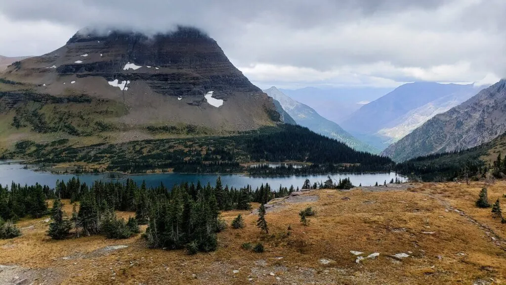
8. Swiftcurrent Pass & Lookout
This is a grinder. You’ll start in Many Glacier, pass three alpine lakes, and then tackle a series of aggressive switchbacks that gain over 2,000 feet. If you have the gas left, take the spur trail to the Fire Lookout. At 13.6 miles roundtrip, it’s a long day, but the 360-degree view of the Many Glacier valley is the best "aerial" shot you can get without a helicopter.
9. Gunsight Pass Trail
This is the ultimate trans-park trek. Often done as a 20-mile one-way "big day" or a 2-day backpacking trip, it takes you past Gunsight Lake, over a pass often frequented by mountain goats, and down to Lake Ellen Wilson. Note: Backcountry permits are required for overnight stays and are highly competitive.
10. Siyeh Pass
If you love wildflowers, this is your trail. The hike through Preston Park in mid-to-late July is like walking through a curated garden. The trail then ascends to 8,000 feet, providing a bird's-eye view of the Sexton Glacier before dropping steeply down to the Sunrift Gorge.
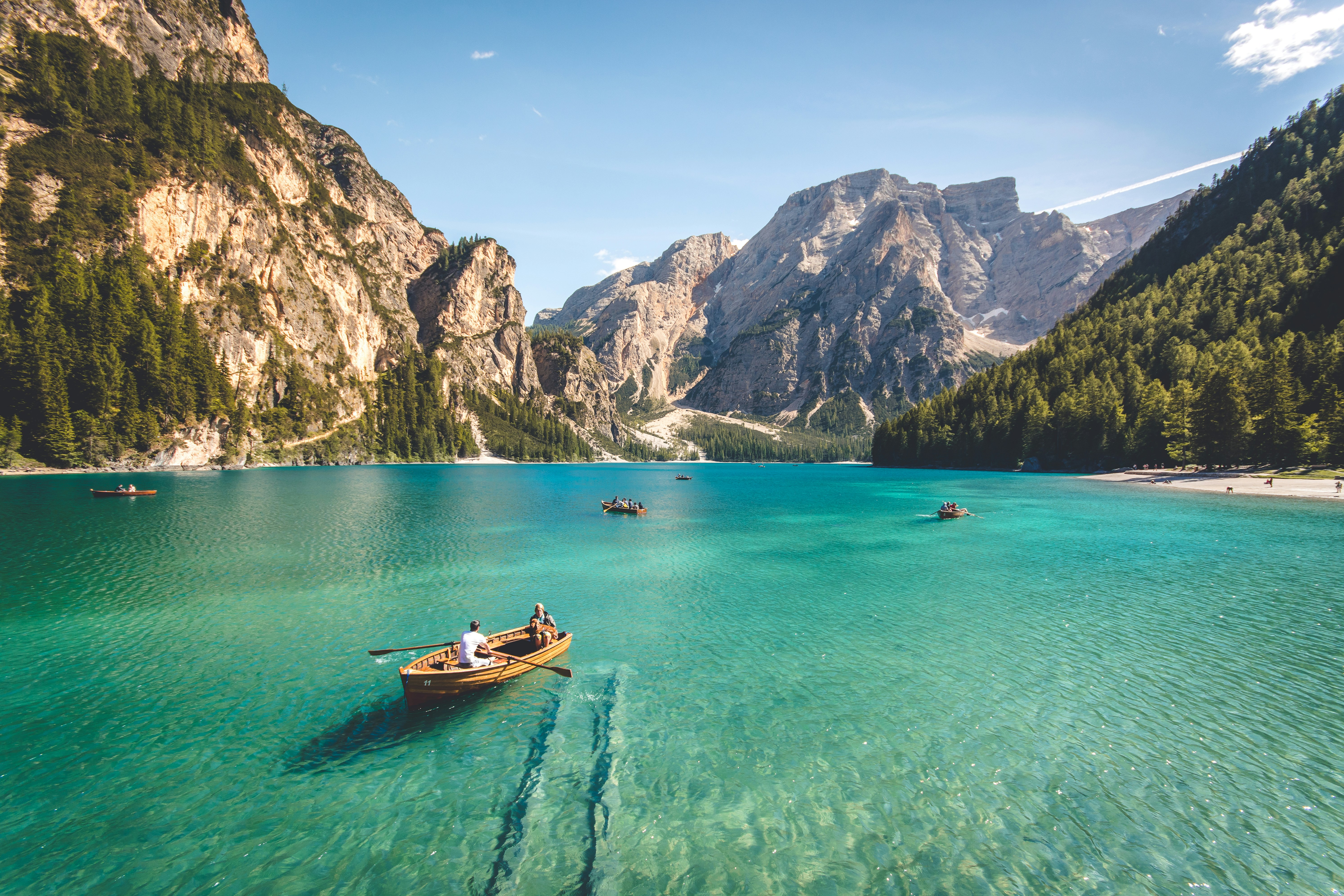
11. Cracker Lake
I’ve seen a lot of lakes, but nothing prepares you for Cracker Lake. Thanks to "rock flour"—fine particles of silt suspended in the water—the lake is a vibrant, opaque turquoise that looks almost radioactive.
| Metric | Details |
|---|---|
| Distance | 12.6 miles roundtrip |
| Elevation Gain | 1,400 ft |
| Estimated Time | 6–7 hours |
| Difficulty | Moderate (mostly for distance) |
The first few miles are shared with horses (watch your step!), but once you reach the lake and the remnants of the old mining operation, you’ll realize why this is a photographer’s favorite.
2026 Survival Tips: Safety and Ethics
Glacier is a wild place. To ensure you’re around to hike in 2027, keep these three pillars in mind:
- Bear Safety is Non-Negotiable: This is Grizzly country. I never hit the trail without bear spray holstered to my chest (not in my pack). Make noise, especially near rushing water or thick brush. If you see a bear, give it 100 yards of space.
- Weather Management: I’ve seen it go from 80 degrees at the trailhead to a freezing sleet storm at the pass in under an hour. Layering is key. Avoid cotton; stick to wool or synthetic wicking fabrics.
- Leave No Trace: The alpine tundra is incredibly fragile. One misplaced footstep can kill plants that took decades to grow. Stay on the designated trail, and always pack out what you pack in.
FAQ
Q: Do I really need bear spray for easy hikes like Trail of the Cedars? A: Yes. Grizzlies don't care about trail difficulty ratings. They frequent the valley floors just as much as the high peaks. Always carry it.
Q: What happens if I can't get a vehicle reservation for Going-to-the-Sun Road? A: You can still enter the park before 6:00 AM or after 3:00 PM (check 2026 specifics as these times can shift). Alternatively, park at the St. Mary or Apgar visitor centers and utilize the park’s shuttle system.
Q: Is the water in the lakes safe to drink? A: Never drink directly from the lakes or streams without a filter. Giardia is present in the park's water sources and will ruin your vacation faster than a thunderstorm.
The peaks are calling, and 2026 is going to be a legendary year in the Crown of the Continent. Whether you’re chasing glaciers or seeking the solace of the pines, Glacier National Park is a place that changes you.
Ready to gear up? Check out my latest gear reviews and expedition logs to make sure you're prepared for the high country.